Space Science & Research
Earth Observation Scientist
Uses satellite data to study climate, land, oceans and change over time.
0 of 5 signature competencies evidenced. Ready means Level 3 on each.
Signature competencies
Remote Sensing Interpretation
Understanding what sensors in the sky can and cannot reveal about the ground.
Not yet evidenced
Scientific Data Interpretation
Reading charts, readings and trends to reach defensible conclusions.
Not yet evidenced
Spatial Analysis & Mapping
Turning location-based data into maps that support real decisions.
Not yet evidenced
Observation & Anomaly Detection
Noticing what is different, moving or out of place in images, signals and data.
Not yet evidenced
Technical Communication
Explaining complex technical decisions clearly to the people who need to act.
Not yet evidenced
Why it matters
Climate adaptation across Africa depends on reliable evidence from orbit.
Technical foundations
- Physics of light
- Statistics
- Python
Mentors in this field
UNIVAST mentors with experience relevant to becoming a Earth Observation Scientist.
Science & Research
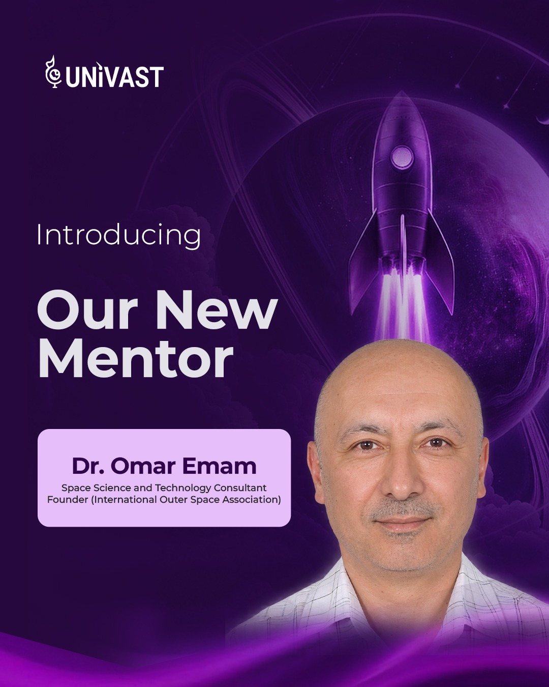
Dr. Omar Emam
Space Science and Technology Consultant. Founder, International Outer Space Association