Earth · Floods
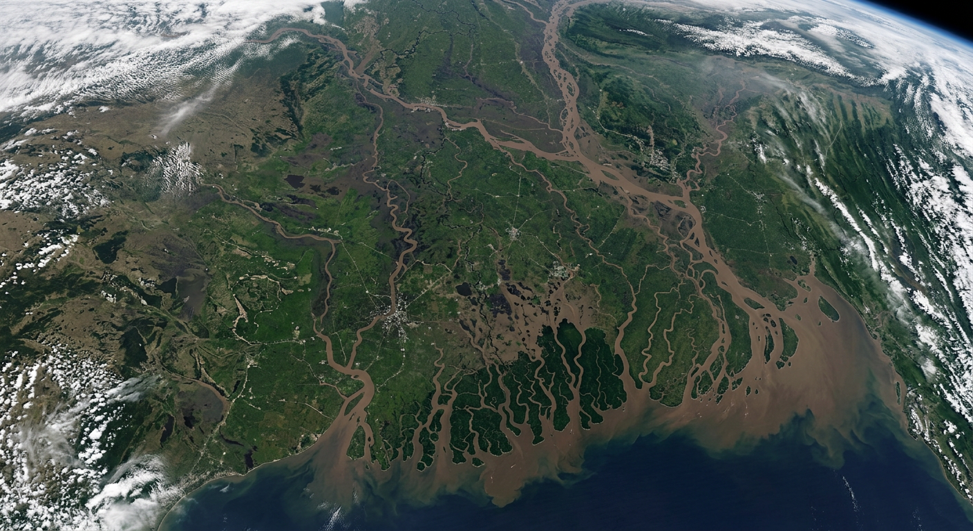
Could you see a flood coming from space?
The clouds are thick, the river is rising. Optical cameras are blind. Radar is not.
- Sentinel-1 revisit over most of Africa
- 6 days
- radar pixel size, enough to see streets
- 10 m
- target time to deliver an emergency map
- 24 h
01
When the sky closes
Floods arrive with storms, and storms bring cloud. For the satellites that take ordinary photographs, the most important days are the ones they cannot see. Emergency teams on the ground still need a map — fast.
02
Radar sees through
Synthetic Aperture Radar (SAR) satellites send their own microwave pulses, which pass straight through cloud, and listen for the echo. Rough ground scatters some of the pulse back, so it looks grey. Calm water acts like a mirror and bounces the pulse away from the satellite, so water looks dark.
03
Dark is not always water
Radar has traps. Smooth tarmac such as a runway mirrors the pulse away too, and slopes facing away from the satellite sit in radar shadow. Both look dark even on a dry day. Flooded towns do the opposite: the pulse bounces off the water, then off a wall, and comes straight back. This double bounce makes a flooded town brighter than before. So analysts never trust one image. They compare a before image with an after image, and only what changed is new flood.
04
Choosing your data
Sharper images come less often. A 10 m satellite can show individual streets but may only pass every few days; a 300 m satellite sees the whole basin daily. If a flood will drain within two days, the sharp image that arrives too late is worth nothing. The ground matters too: soil already soaked by a week of rain cannot absorb more, so new rain runs straight into the river.
05
From gauge to warning
Gauges upstream buy time. When a river’s daily rise keeps growing, forecast with the next likely rise, not the weekly average, which hides the speed-up. Then add travel time, because the flood wave takes time to move downstream: time = distance ÷ wave speed. A gauge 30 km upstream with a wave moving at 3 km/h gives a town 10 extra hours.
Your mission
3 Ops, about 6 minutes
- 1Tactical · SPOTSpot the new flood water
- 2Tactical · COMPAREChoose the right evidence
- 3Technical · INTERPRETWarn the town downstream
Evidence you can earn
Competencies this mission builds
- Remote Sensing InterpretationUnderstanding what sensors in the sky can and cannot reveal about the ground.Up to L2
- Scientific Data InterpretationReading charts, readings and trends to reach defensible conclusions.L1
- Spatial Analysis & MappingTurning location-based data into maps that support real decisions.L1
Leads toward Earth Observation Scientist, Remote Sensing Analyst, GIS Analyst.