Space Science & Research
Remote Sensing Analyst
Processes satellite and aerial imagery into products people can act on.
0 of 5 signature competencies evidenced. Ready means Level 3 on each.
Signature competencies
Remote Sensing Interpretation
Understanding what sensors in the sky can and cannot reveal about the ground.
Not yet evidenced
Spatial Analysis & Mapping
Turning location-based data into maps that support real decisions.
Not yet evidenced
Scientific Data Interpretation
Reading charts, readings and trends to reach defensible conclusions.
Not yet evidenced
Observation & Anomaly Detection
Noticing what is different, moving or out of place in images, signals and data.
Not yet evidenced
Risk Assessment
Weighing likelihood and consequence to decide when and how to act.
Not yet evidenced
Why it matters
Flood maps, fire alerts and crop forecasts start with an analyst and an image.
Technical foundations
- Image processing
- GIS software
- Sensors
Mentors in this field
No mentor is matched to this exact role yet. These mentors work in the same career family.
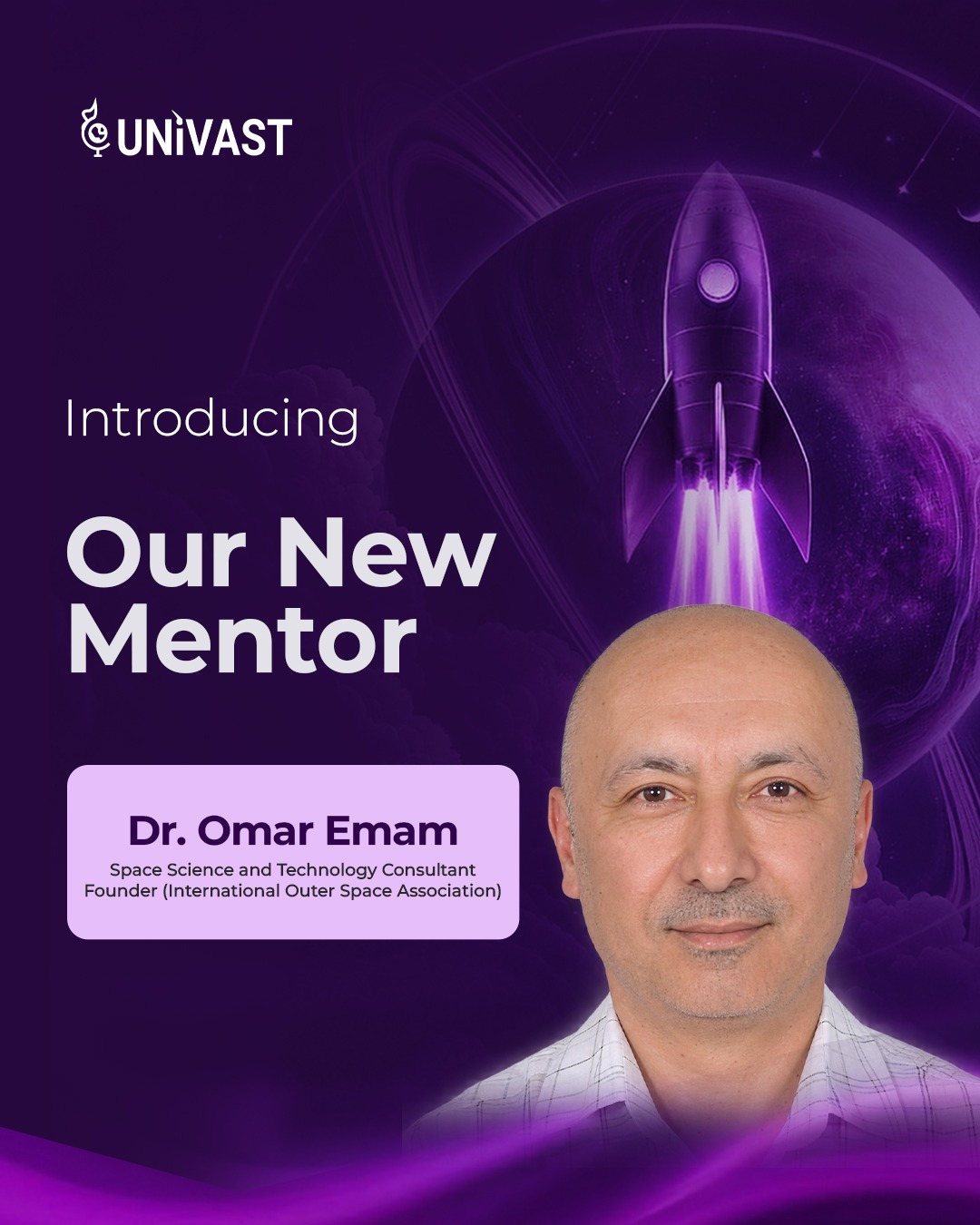
Science & Research
Dr. Omar Emam
Space Science and Technology Consultant. Founder, International Outer Space Association
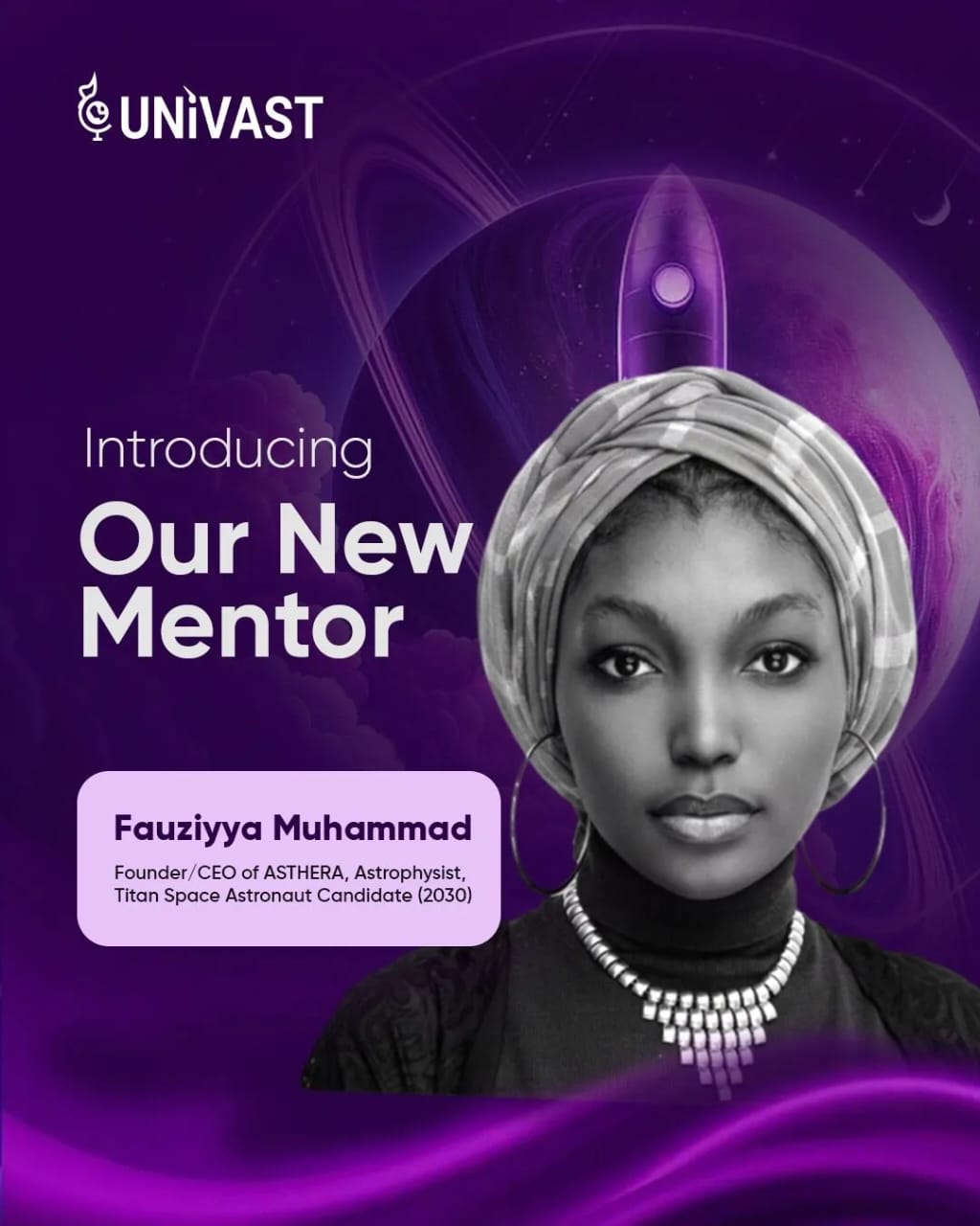
Science & Research
Fauziyya Muhammad
Founder & CEO of ASTHERA, Astrophysicist and Titan Space Astronaut Candidate (2030)