Earth · Drones
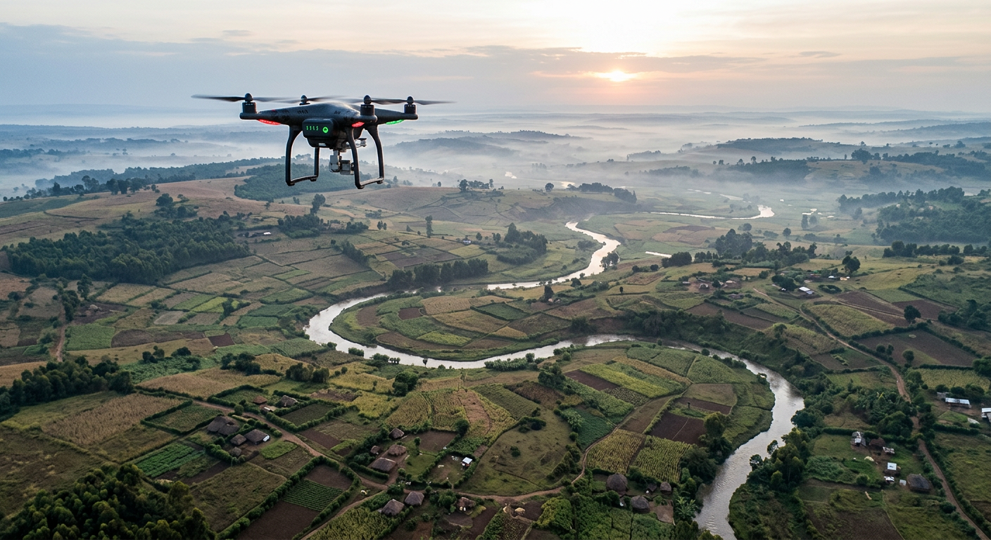
What can a drone see before we can?
Crops start failing days before a farmer can see it. A drone can tell.
- earlier warning than the naked eye
- 5–7 days
- typical legal ceiling for drone flights
- 120 m
- NDVI vegetation health range
- 0–1
01
The invisible warning
On a smallholding outside Nakuru, the maize looks fine. Green, upright, ordinary. But inside the leaves, chlorophyll is already breaking down from water stress. To the human eye, nothing will show for another five to seven days.
02
Seeing in near-infrared
Healthy plants reflect near-infrared light strongly; stressed plants reflect less. A multispectral camera on a drone records that difference, and an index called NDVI turns it into a number from 0 to 1. Low numbers mark trouble long before the leaves turn yellow.
03
A flight is a plan
None of that matters if the drone cannot get there. Battery limits, no-fly zones around schools and airstrips, and the order of waypoints decide whether a survey succeeds. Mission planning is where the science meets the sky.
Your mission
3 Ops, about 6 minutes
- 1Tactical · ROUTEPlan the survey flight
- 2Tactical · SPOTSpot the stressed crops
- 3Technical · MAPMap field health from NDVI
Evidence you can earn
Competencies this mission builds
- UAS/Drone Mission PlanningPlanning safe, efficient drone flights around airspace, battery and objectives.Up to L2
- Spatial Analysis & MappingTurning location-based data into maps that support real decisions.L1
- Observation & Anomaly DetectionNoticing what is different, moving or out of place in images, signals and data.L1
Leads toward Drone Mapping Specialist, GIS Analyst, Remote Sensing Analyst.