Earth · Wildfire
Where will the next wildfire start?
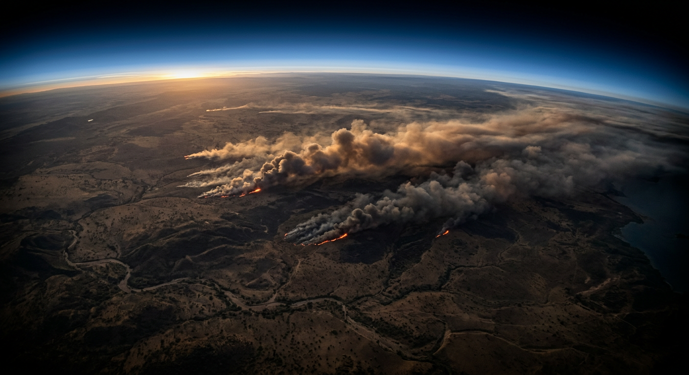
A satellite 800 km up can detect a fire smaller than a football pitch. Then what?
- of global burned area is in Africa
- ~70%
- VIIRS thermal detection pixel
- 375 m
- typical alert latency from orbit
- 3 hrs
01
Heat from orbit
Every few hours, thermal sensors pass over the savanna and measure heat. Fire burns far hotter than sun-baked ground, so active flames light up as intense hotspots — even through thin smoke.
02
Not every hot pixel is a fire
Sunlit rock, tin roofs and industrial sites also run warm. Analysts learn to separate moderate heat from the sharp, intense signature of a real fire before alerts go out to rangers and farmers.
03
Weather decides the rest
Once a fire starts, wind, humidity and dry fuel decide how fast it runs. Fire weather indices combine these into a single number that tells crews where to stand ready.
Your mission
3 Ops, about 6 minutes
- 1Tactical · SPOTSpot the active fires
- 2Tactical · PREDICTPredict the fire’s behaviour
- 3Technical · INTERPRETRead the fire weather index
Evidence you can earn
Competencies this mission builds
- Observation & Anomaly DetectionNoticing what is different, moving or out of place in images, signals and data.Up to L2
- Remote Sensing InterpretationUnderstanding what sensors in the sky can and cannot reveal about the ground.L1
- Risk AssessmentWeighing likelihood and consequence to decide when and how to act.L1
Leads toward Remote Sensing Analyst, Earth Observation Scientist, Flight Operations Specialist.